The Balearic Sea Report demonstrates the positive impact of marine protection
Published 18.09.2024
Share

The 2024 Balearic Sea Report (IMB) presents updated data on the different types and status of marine protected areas (MPAs) and their benefits. The new chapter includes the following indicators: Marine reserves of fishing interest, Natura 2000 Network, fish monitoring in EMPs, and the number of recreational dives in marine reserves.
Biomass multiplies
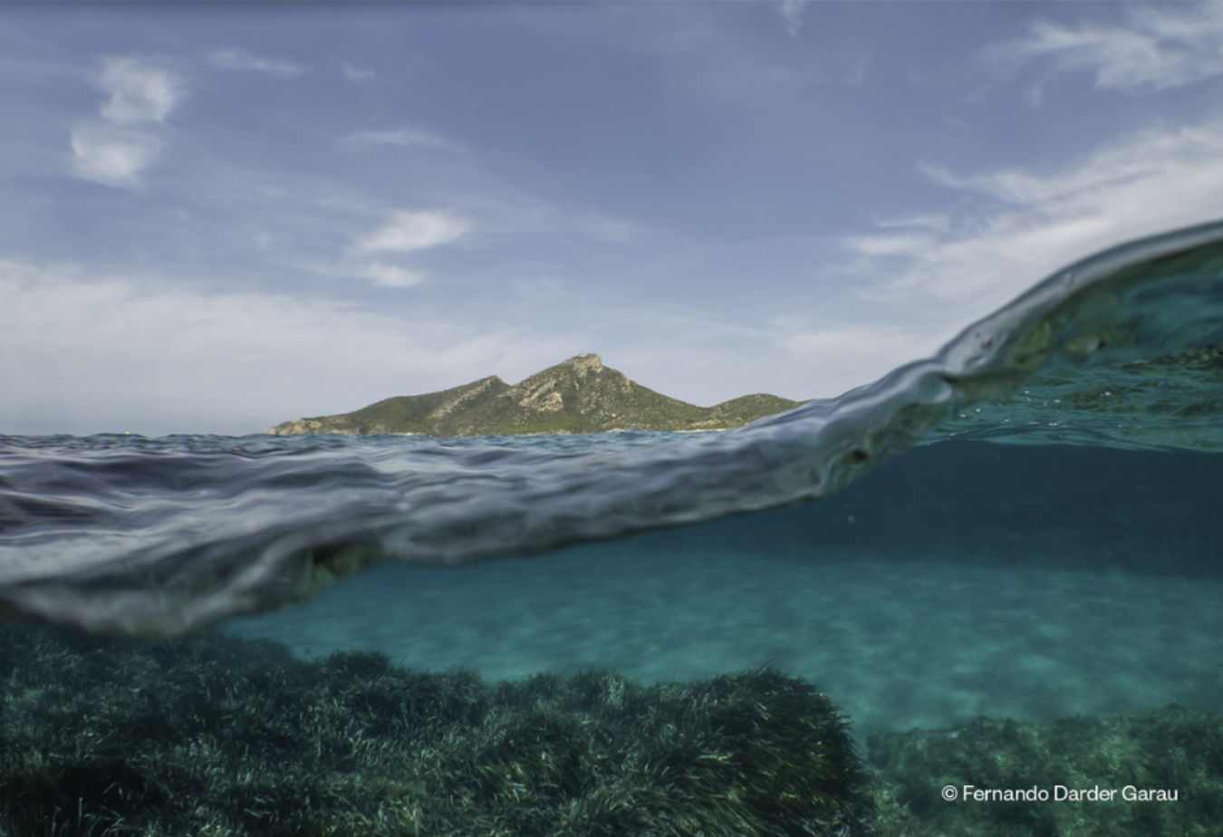
The fish community vulnerable to fishing shows growth in biomass and in the number of species in most of the Balearic Sea MPAs. In some MPAs, the biomass has tripled (Illa del Toro) or quadrupled (Illes Malgrats) between 2005 and 2022. However, in one of the areas studied (Parque Nacional Marítimo-terrestre del Archipiélago de Cabrera), slight decreases were observed, while in others the biomass did not increase so significantly. This could be due to differences present in the habitats, which could have been less favourable depending on the type of bottom and its extent, and/or fewer fishing restrictions and/or less surveillance. For example, in the Natural Park of S'Albufera des Grau, with lower fishing restrictions, the lowest biomass of all the areas studied was recorded.
The increase in fish populations has made the EMPs more attractive areas for recreational diving, with the number of dives increasing from 12,735 in 2005 to 75,936 in 2023.
Many scientific studies show that protecting the Balearic Sea economically benefits sectors such as fishing, diving, and tourism. Monitoring EMP indicators, such as the status of fish stocks, is crucial to maximise these benefits and target management where needed.
Protected area
As for the area of marine reserves of fishing interest, since 1982 it has increased to 674.2 km², representing 0.93% of the Balearic Sea*, while prohibited fishing areas comprise only 0.06%. This is far from the Spanish government's commitment to establish 10% of the marine area with a high level of protection.
At the same time, the marine areas declared Natura 2000 Network have also been increasing since 2006, reaching 11,733.04 km² in external waters (managed by the Spanish government) and 1,057.79 km² in internal waters (managed by the Government of the Balearic Islands) in 2023. However, many of these areas, such as the marine reserves of fishing interest, do not have adequate management plans for the protection of habitats and species. Specifically, 99.9% of those managed by the state and 48% of those managed by the autonomous community do not have a plan.
It has to be noted that until present, all calculations of the Natura 2000 Network in the Balearic Islands included overlapping areas between state and autonomous areas, which resulted in a higher reported protected area than the real one.
IMB 2024 uses a new methodology that eliminates these overlaps, providing a more accurate calculation. According to this new methodology, the Natura 2000 Network protected area in external waters (corresponding to the Spanish government’s figures) is 1,886.85 km2 less than previously reported, representing a 14% reduction.
The IMB is a collaborative project involving all the marine research institutions of the Balearic Islands, as well as public and private entities. The report, which gathers the best available information on the Balearic Sea, aims to improve management and detect knowledge gaps in marine research. Started in 2020, the project has been digitised since the second edition, and in this fourth edition (2024) the ten chapters of the report will be updated on the website www.informemarbalear.org throughout the year. Currently, two chapters have been updated: Global change and Marine protected areas (MPAs).
*We use the definition of the Balearic Sea described by Dr Enric Ballesteros (2022): the Balearic Sea includes the submerged Balearic promontory coinciding with the greatest depth in the Ibiza Channel (west) and the Valencia Channel (north), while in the east and south the limits are located at 2,600 m depth so as not to occupy waters outside the jurisdictional limits. It represents a total area of 72,552 km².


