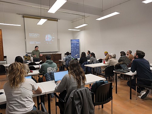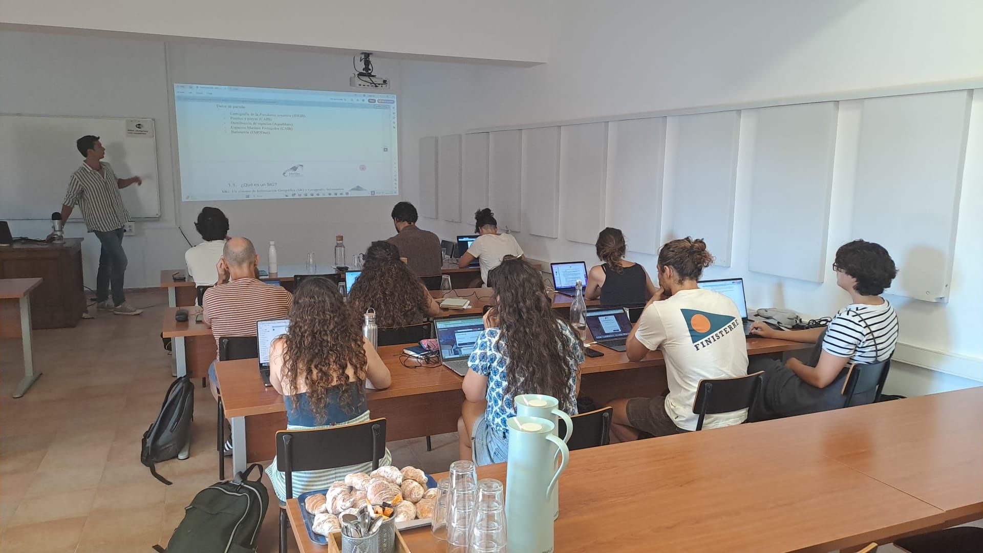
The work being done by marine conservation organisations to achieve the 30x30 and 10x30 targets is essential to ensure that the government makes progress in protecting the sea. As Geographic Information Systems (GIS) are an essential tool for contributing to the proper design and management of marine protected areas (MPAs), we organised a GIS training course in June for NGOs involved in MPAs in the Balearic Islands.
Alexandre Moragues, lecturer at the University of the Balearic Islands (UIB) and expert in geographic information technologies, taught the course.
TUI Care Foundation supports Marilles in training third sector organisations.