
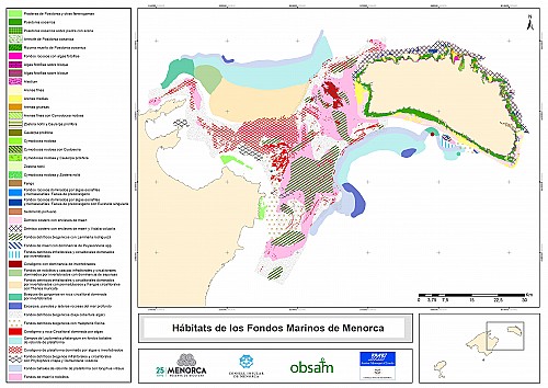
Maps of the sea floor

30.000€
2019
Baleares
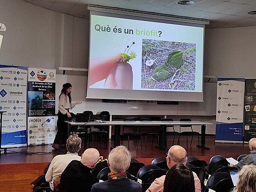
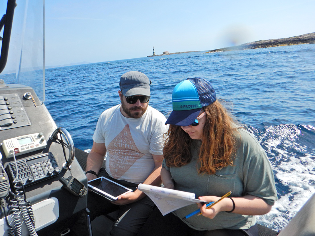
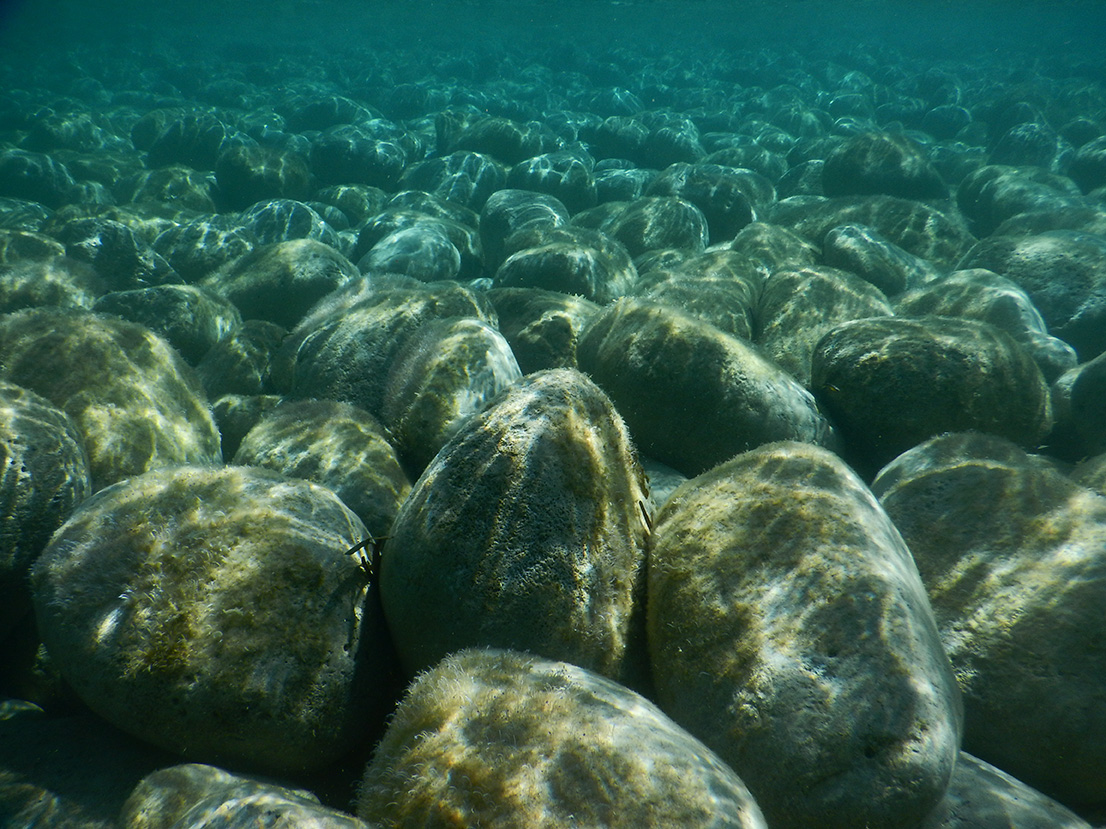
Good cartography of the marine and coastal habitats of the Balearics and an accu-rate evaluation of their condition are essential tools for creating strategies to im-prove their management and conservation.
Because of this, the Menorca Institute of Studies (Institut Menorquí d’Estudis, IME), working with the Socio-atmospheric Observatory of Menorca (Observatori Socioambiental de Menorca, OBSAM) and the Natural History Society of the Balearics (Societat d’Història Natural de les Balears, SHNB) has compiled and collated all existing maps to create a new cartography. This new collection allows us to visualise the large diversity of habitats that exist in the islands, as well as revealing those areas for which less information is available.
This information will support our progress towards a system of natural accountancy that makes apparent the relationship between the state of marine habitats and the benefits and services they offer the community of the Balearics.
Consult the new cartography of the Balearic seabed and the map viewer.
"For decades, the habitats of the Balearic sea floor have been the subject of studies and cartography by various research teams. This project has allowed us to combine all these fragmented and biased views and offer a unified, group vision."
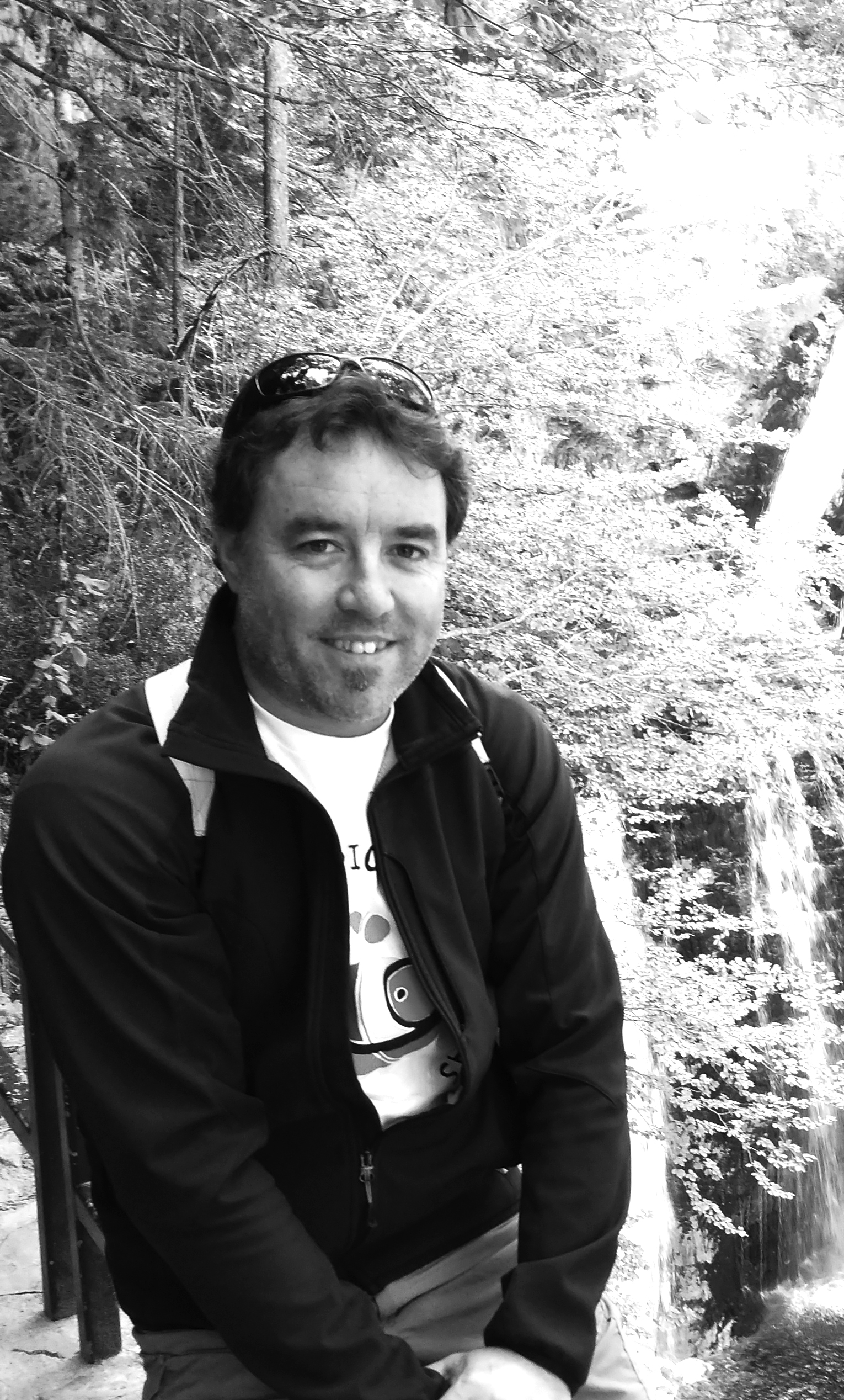 David Carreras Director of OBSAM
Related news
-
 08.10.2019
New unified maps of the Balearic seabed
New unified maps of the Balearic seabed are essential for improving management and conservation.
-
 15.04.2019
Compile marine maps to improve management of the Balearic sea
Project entirely financed by Marilles for €30,000.
-
 05.04.2019
David Carreras, the OBSAM’s director
OBSAM is a project tasked with analysing information to the sustainable management of Minorca.